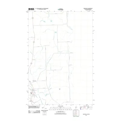
2011 Map of Mars Hill
USGS Topo · Published 2011About this map
The dual-named peak of Mars Hill dominates the landscape along the international boundary between Maine and New Brunswick, as seen in this 2011 survey. The settlements of Mars Hill and Blaine are concentrated in the southwestern quadrant, where the Mars Hill Dam regulates the local waters. This region is characterized by a dense network of water bodies and streams, including Prestile Stream, Rocky Brook, and the River De Chute, which flows north toward the border.
Find a feature on this map
45 named features on this map. Tap any name to fly to it.
Don’t see what you’re looking for? This feature index may not catch every label — zoom into the map to look around manually.
Map Details
Editions of this 2011 Mars Hill Map
This is the sole edition of this map. No revisions or reprints were ever made.
Other maps of this area

1934 · Bridgewater
USGS Topo · 1:48,000

1936 · Mars Hill
USGS Topo · 1:48,000

1938 · Bridgewater
USGS Topo · 1:62,500

1940 · Mars Hill
USGS Topo · 1:62,500

1951 · Mars Hill
USGS Topo · 1:62,500

1951 · Bridgewater
USGS Topo · 1:62,500

1953 · Bridgewater
USGS Topo · 1:50,000

1959 · Woodstock
USGS Topo · 1:250,000

1963 · Woodstock
USGS Topo · 1:250,000
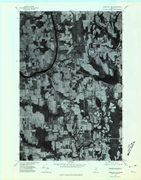
1975 · Mars Hill NW
USGS Topo · 1:24,000