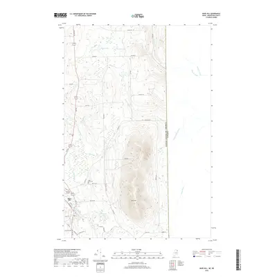
2018 Map of Mars Hill
USGS Topo · Published 2018About this map
The prominent ridge of Mars Hill dominates the landscape along the international boundary between the United States and Canada in northern Aroostook County. This 2018 survey documents the varied topography of the region, where the steep slopes of the hill contrast with the lower-lying agricultural and residential areas of the Mars Hill settlement. The drainage patterns are clearly defined by Prestile Stream and several smaller waterways such as River De Chute and Gizoquit Brook, which carve through the surrounding timberlands and potato fields.
Find a feature on this map
54 named features on this map. Tap any name to fly to it.
Don’t see what you’re looking for? This feature index may not catch every label — zoom into the map to look around manually.
Map Details
Editions of this 2018 Mars Hill Map
This is the sole edition of this map. No revisions or reprints were ever made.
Other maps of this area

1934 · Bridgewater
USGS Topo · 1:48,000

1936 · Mars Hill
USGS Topo · 1:48,000

1938 · Bridgewater
USGS Topo · 1:62,500

1940 · Mars Hill
USGS Topo · 1:62,500

1951 · Mars Hill
USGS Topo · 1:62,500

1951 · Bridgewater
USGS Topo · 1:62,500

1953 · Bridgewater
USGS Topo · 1:50,000

1959 · Woodstock
USGS Topo · 1:250,000

1963 · Woodstock
USGS Topo · 1:250,000
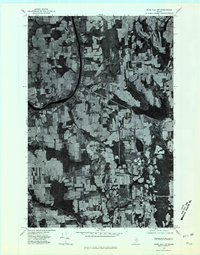
1975 · Mars Hill NW
USGS Topo · 1:24,000