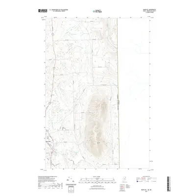
2021 Map of Mars Hill
USGS Topo · Published 2021About this map
The town of Mars Hill anchors the southwestern corner of this Aroostook County landscape, where the local street grid including Main St and Silver St transitions into a network of rural routes. The most striking geographical feature is the prominent ridge of Mars Hill, which dominates the central topography and provides a high-relief backdrop to the surrounding agricultural and timbered lands. To the east, the map traces the international boundary between the United States of America and Canada, a long straight line that runs north-south through the woods and across Gizoquit Brook.
Find a feature on this map
51 named features on this map. Tap any name to fly to it.
Don’t see what you’re looking for? This feature index may not catch every label — zoom into the map to look around manually.
Map Details
Editions of this 2021 Mars Hill Map
This is the sole edition of this map. No revisions or reprints were ever made.
Other maps of this area

1934 · Bridgewater
USGS Topo · 1:48,000

1936 · Mars Hill
USGS Topo · 1:48,000

1938 · Bridgewater
USGS Topo · 1:62,500

1940 · Mars Hill
USGS Topo · 1:62,500

1951 · Mars Hill
USGS Topo · 1:62,500

1951 · Bridgewater
USGS Topo · 1:62,500

1953 · Bridgewater
USGS Topo · 1:50,000

1959 · Woodstock
USGS Topo · 1:250,000

1963 · Woodstock
USGS Topo · 1:250,000
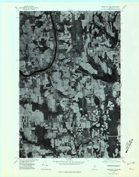
1975 · Mars Hill NW
USGS Topo · 1:24,000