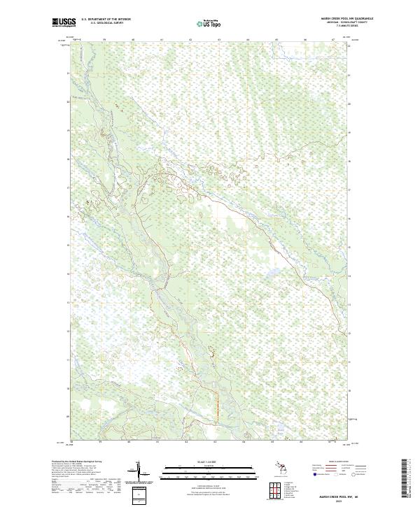
2023 Map of Marsh Creek Pool NW
USGS Topo · Published 2023About this map
West Branch Manistique River and the Creighton River wind through this heavily saturated landscape of the Upper Peninsula, defining a region where water and timber access dictate the layout of human activity. The map reveals a complex network of seasonal routes and forest roads, including the Creighton Th Trl and Highwater Truck Trl, which navigate the wetlands and lowlands of Schoolcraft County. In the southern portion of the quadrangle, the convergence of Stutts Creek, Hiawatha Creek, and Hay Meadow Creek creates a dense riparian system, while Tucker Lake sits as one of the few named bodies of standing water in the eastern section. This 2023 survey illustrates the modern configuration of the state forest lands, where established truck trails like Hickey Truck Trl provide the primary access to the interior wilderness.
Find a feature on this map
28 named features on this map. Tap any name to fly to it.
Don’t see what you’re looking for? This feature index may not catch every label — zoom into the map to look around manually.
Map Details
Editions of this 2023 Marsh Creek Pool NW Map
This is the sole edition of this map. No revisions or reprints were ever made.
Other maps of this area

1931 · Steuben SE
USGS Topo · 1:31,680

1931 · Manistique River NE
USGS Topo · 1:31,680

1931 · Steuben NE
USGS Topo · 1:31,680

1931 · Manistique River SE
USGS Topo · 1:31,680

1931 · Manistique River NW
USGS Topo · 1:31,680

1931 · Shingleton SE
USGS Topo · 1:31,680

1931 · Manistique River SW
USGS Topo · 1:31,680

1931 · Driggs Lake SW
USGS Topo · 1:31,680

1931 · Driggs Lake SE
USGS Topo · 1:31,680

1958 · Shingleton
USGS Topo · 1:62,500