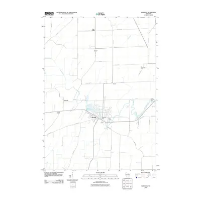
2010 Map of Marshall
USGS Topo · Published 2010About this map
The Maunesha River winds through this central Wisconsin landscape, anchoring the settlement of Marshall and the surrounding agricultural community. The river’s course is punctuated by the Marshall Millpond 72 and infrastructure such as the Marshall Dam, reflecting a history of local water management. Small rural clusters and historical focal points like York Center and Deansville are connected by a grid of named local roads, including Deansville Rd and Sun Prairie Rd. Genealogists and local historians will find several burial sites well-preserved in the record, such as Medina Cemetery, Saint Marys Cemetery, and the South York Cemetery. North of the main village, the Der Schwarzwald Airport marks a modern utility in this largely rural township, while the Upper Waterloo Dam sits near the eastern boundary.
Find a feature on this map
43 named features on this map. Tap any name to fly to it.
Don’t see what you’re looking for? This feature index may not catch every label — zoom into the map to look around manually.
Map Details
Editions of this 2010 Marshall Map
This is the sole edition of this map. No revisions or reprints were ever made.
Other maps of this area

1890 · Sun Prairie
USGS Topo · 1:62,500

1891 · Waterloo
USGS Topo · 1:62,500

1894 · Waterloo
USGS Topo · 1:62,500

1896 · Sun Prairie
USGS Topo · 1:62,500

1905 · Sun Prairie
USGS Topo · 1:62,500

1907 · Sun Prairie
USGS Topo · 1:62,500

1910 · Waterloo
USGS Topo · 1:62,500

1955 · Columbus
USGS Topo · 1:62,500

1955 · Beaver Dam
USGS Topo · 1:62,500

1957 · Madison
USGS Topo · 1:250,000