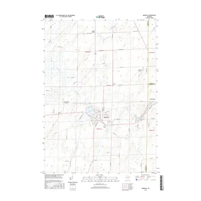
2016 Map of Marshall
USGS Topo · Published 2016About this map
The Maunesha River winds through this landscape on the border of Dane, Dodge, and Jefferson Counties, anchoring the local water system between the Marshall Millpond and the Waterloo Millpond. This 2016 survey illustrates the persistent agricultural and small-town character of the region, where the village of Marshall and the settlement of Deansville are surrounded by well-defined drainage features like the Deansville Marsh and Spring Cr.
Find a feature on this map
74 named features on this map. Tap any name to fly to it.
Don’t see what you’re looking for? This feature index may not catch every label — zoom into the map to look around manually.
Map Details
Editions of this 2016 Marshall Map
This is the sole edition of this map. No revisions or reprints were ever made.
Other maps of this area

1890 · Sun Prairie
USGS Topo · 1:62,500

1891 · Waterloo
USGS Topo · 1:62,500

1894 · Waterloo
USGS Topo · 1:62,500

1896 · Sun Prairie
USGS Topo · 1:62,500

1905 · Sun Prairie
USGS Topo · 1:62,500

1907 · Sun Prairie
USGS Topo · 1:62,500

1910 · Waterloo
USGS Topo · 1:62,500

1955 · Columbus
USGS Topo · 1:62,500

1955 · Beaver Dam
USGS Topo · 1:62,500

1957 · Madison
USGS Topo · 1:250,000