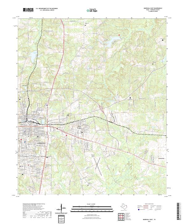
2022 Map of Marshall East
USGS Topo · Published 2022About this map
The city of Marshall, Texas, serves as the primary hub of this eastern Harrison County survey, anchoring a landscape that balances historic institutional roots with modern suburban expansion. The urban core is defined by the Harrison County Courthouse and long-standing educational centers like Wiley College and East Texas Baptist University. Outside the city limits, the terrain transitions into residential clusters like Jasper Heights and Suburban Acres, while the eastern fringes near Scottsville maintain a more dispersed character.
Find a feature on this map
176 named features on this map. Tap any name to fly to it.
Don’t see what you’re looking for? This feature index may not catch every label — zoom into the map to look around manually.
Map Details
Editions of this 2022 Marshall East Map
This is the sole edition of this map. No revisions or reprints were ever made.
Other maps of this area
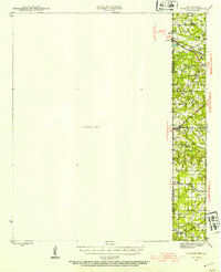
1943 · Waskom
USGS Topo · 1:62,500
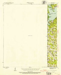
1944 · Caddo Lake
USGS Topo · 1:62,500
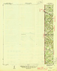
1945 · Waskom
USGS Topo · 1:62,500
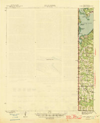
1946 · Caddo Lake
USGS Topo · 1:62,500

1956 · Tyler
USGS Topo · 1:250,000
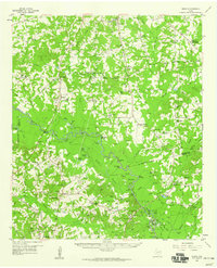
1958 · Darco
USGS Topo · 1:62,500
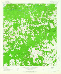
1962 · Marshall NW
USGS Topo · 1:24,000
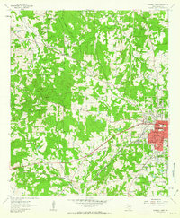
1962 · Marshall West
USGS Topo · 1:24,000
1962 · Woodlawn
USGS Topo · 1:24,000
1962 · Karnack
USGS Topo · 1:24,000