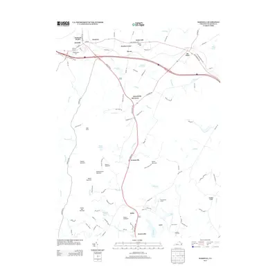
2013 Map of Marshall
USGS Topo · Published 2013About this map
Marshall and The Plains anchor this landscape along the John Marshall Hwy, where the hills of the Virginia Piedmont rise toward the Blue Ridge. The terrain is defined by a series of prominent elevations, including England Mountain, Wildcat Mountain, and the Watery Mountains, which separate the drainage of Carter Run from the Broad Run valley. Smaller crossroads and historical locales like Rosstown, Belvoir, and Meadowville are linked by a network of rural roads such as Zulla Rd and Winchester Rd.
Find a feature on this map
100 named features on this map. Tap any name to fly to it.
Don’t see what you’re looking for? This feature index may not catch every label — zoom into the map to look around manually.
Map Details
Editions of this 2013 Marshall Map
This is the sole edition of this map. No revisions or reprints were ever made.
Other maps of this area

1894 · Warrenton
USGS Topo · 1:125,000

1894 · Warrenton
USGS Topo · 1:62,500

1927 · Remington
USGS Topo · 1:48,000

1930 · Warrenton
USGS Topo · 1:62,500

1933 · Middleburg
USGS Topo · 1:62,500

1943 · Catlett
USGS Topo · 1:62,500

1943 · Thorofare Gap
USGS Topo · 1:24,000

1943 · Orlean
USGS Topo · 1:24,000

1943 · Marshall
USGS Topo · 1:24,000

1943 · Upperville
USGS Topo · 1:24,000