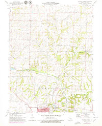
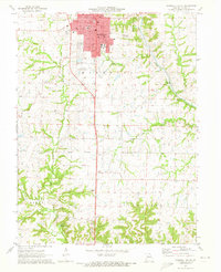
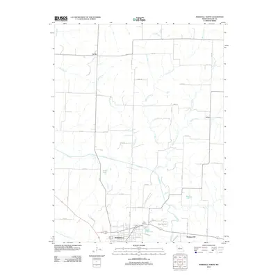
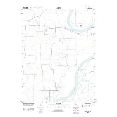
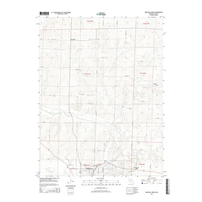
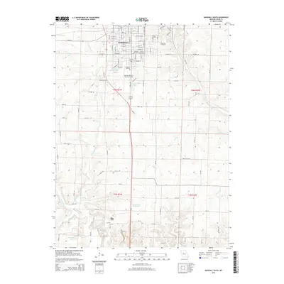
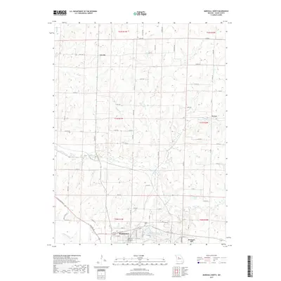
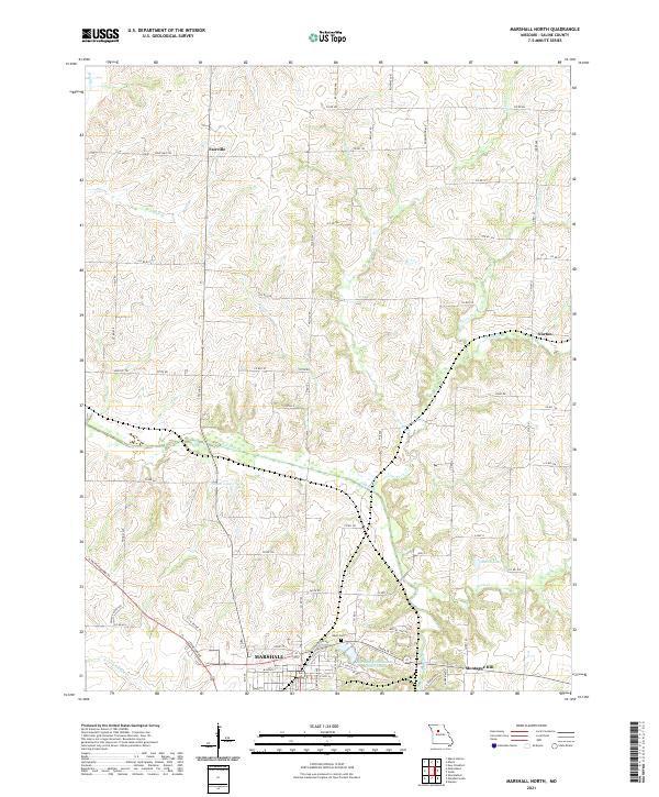
1971 Map of Marshall North
USGS Topo · Published 1979About this map
The agricultural plains of Saline County meet the burgeoning infrastructure of Marshall in this 1970s survey. The landscape is defined by the winding course of the Salt Fork Missouri River, which is flanked by the Gulf Mobile and Ohio and Pacific railroads. These rail lines illustrate the historic transit corridor that facilitated the growth of rural outposts like Fairville and Norton. Near the southern edge of the sheet, the expansive campus of the Marshall State School and Hospital and the presence of a Drive-in Theater reflect the mid-century social and recreational development of the community. Rural life is anchored by landmarks such as Mt Carmel Ch and several small burial sites, including Odell Cem. High points like Montague Hill rise above the drainage networks of Cow Creek and Thrailkill Branch, providing a clear view of the transition from open farmland to the radio towers and civic utilities supporting the county seat.
Find a feature on this map
27 named features on this map. Tap any name to fly to it.
Don’t see what you’re looking for? This feature index may not catch every label — zoom into the map to look around manually.
Map Details
Editions of this 1971 Marshall North Map
2 editions found
Historical Maps of Marshall Through Time
35 maps found

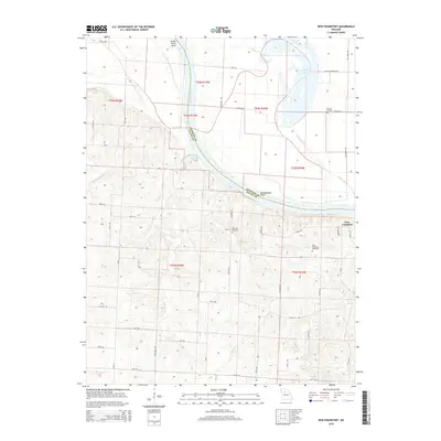
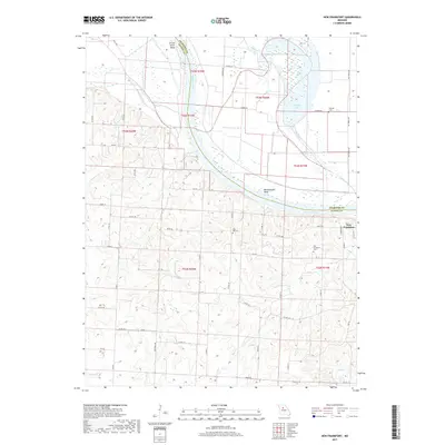
1951 New Frankfort
Saline County, MO
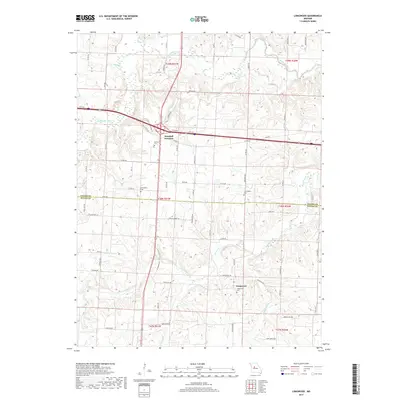
1953 Longwood
Saline County, MO
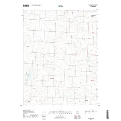
1953 Shackleford
Saline County, MO
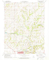
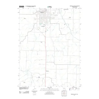
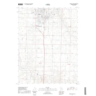
1971 Marshall North
Saline County, MO
1971 Marshall South
Saline County, MO
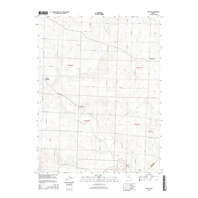
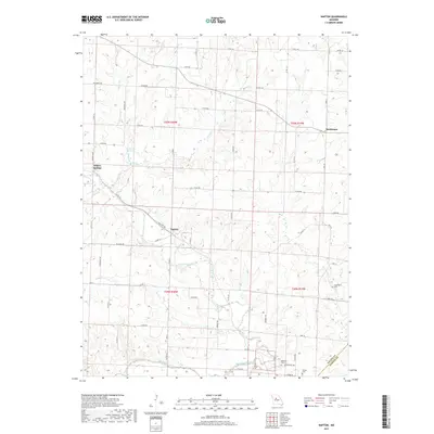
1971 Napton
Saline County, MO
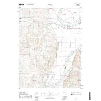
1971 Saline City
Saline County, MO
2011 Longwood
Saline County, MO
2012 Marshall North
Saline County, MO
2012 Marshall South
Saline County, MO
2012 Napton
Saline County, MO
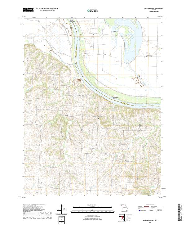
2012 New Frankfort
Saline County, MO
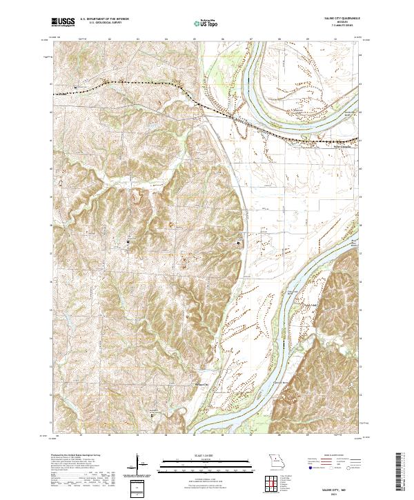
2012 Saline City
Saline County, MO
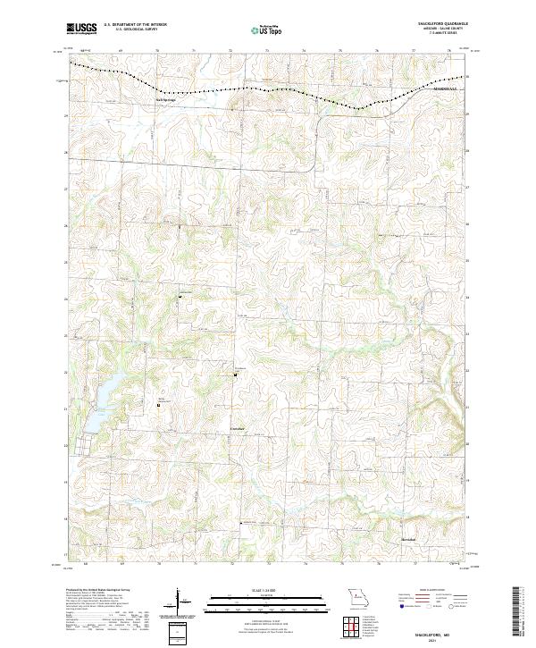
2012 Shackleford
Saline County, MO
2014 Longwood
Saline County, MO
2014 Saline City
Saline County, MO
2015 Marshall North
Saline County, MO
2015 Marshall South
Saline County, MO
2015 Napton
Saline County, MO
2015 New Frankfort
Saline County, MO
2015 Shackleford
Saline County, MO
2017 Longwood
Saline County, MO
2017 Marshall North
Saline County, MO
2017 Marshall South
Saline County, MO
2017 Napton
Saline County, MO
2017 New Frankfort
Saline County, MO
2017 Saline City
Saline County, MO
2017 Shackleford
Saline County, MO
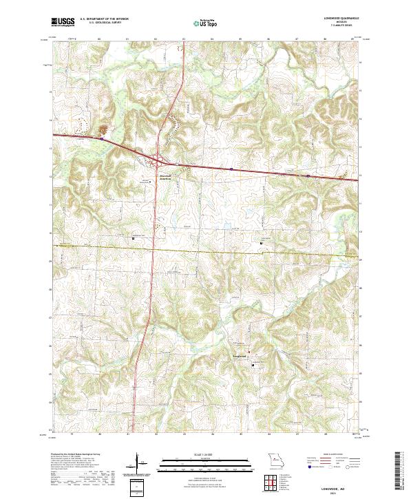
2021 Longwood
Saline County, MO
2021 Marshall North
Saline County, MO
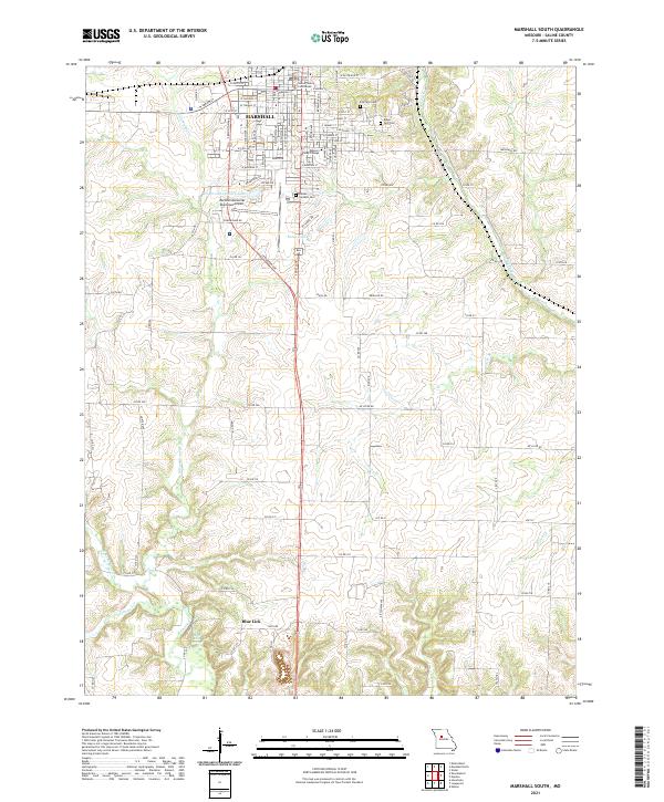
2021 Marshall South
Saline County, MO
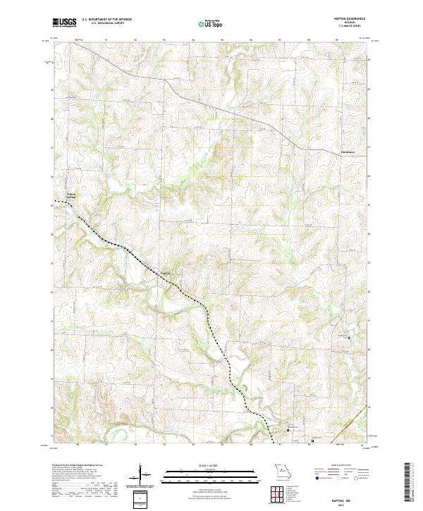
2021 Napton
Saline County, MO
2021 New Frankfort
Saline County, MO
2021 Saline City
Saline County, MO
2021 Shackleford
Saline County, MO