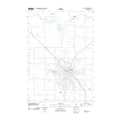
2010 Map of Marshfield
USGS Topo · Published 2010About this map
Marshfield serves as the hub of this Central Wisconsin region, appearing here in the early 21st century with its signature blend of institutional, industrial, and agricultural landscapes. The city's northern reaches are marked by the Hillside Cemetery and the University of Wisconsin Marshfield - Wood County Campus, while the Marshfield Municipal Airport defines the southern edge near Mill Creek. Beyond the urban grid, the landscape transitions into a network of dairy-land roads and drainage systems, including the Little Eau Pleine River to the north and the East Branch Yellow River to the west.
Find a feature on this map
53 named features on this map. Tap any name to fly to it.
Don’t see what you’re looking for? This feature index may not catch every label — zoom into the map to look around manually.
Map Details
Editions of this 2010 Marshfield Map
This is the sole edition of this map. No revisions or reprints were ever made.
Other maps of this area

1902 · Marathon
USGS Topo · 1:125,000

1953 · Abbotsford
USGS Topo · 1:48,000

1953 · Stratford
USGS Topo · 1:48,000

1953 · Eau Claire
USGS Topo · 1:250,000

1954 · Granton
USGS Topo · 1:62,500

1954 · Marshfield
USGS Topo · 1:62,500

1958 · Eau Claire
USGS Topo · 1:250,000

1963 · Stratford
USGS Topo · 1:62,500

1963 · Abbotsford
USGS Topo · 1:62,500

1964 · Eau Claire
USGS Topo · 1:250,000