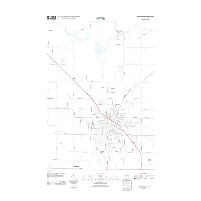
2013 Map of Marshfield
USGS Topo · Published 2013About this map
McMillan, Mann, and Bakerville anchor the rural-urban interface of central Wisconsin on this 2013 topographic survey. The city of Marshfield is shown in significant detail, featuring major civic landmarks like Beell Stadium and the expansive Wildwood Park on the southern edge. The landscape is defined by its complex hydrology, with the Little Eau Pleine River winding across the northern section and the Yellow River and East Br Yellow River cutting through the southwest. The infrastructure of a modern regional hub is evident in the Marshfield Municipal Airport and the Marshfield Wastewater Treatment Facility. This map provides a clear view of how residential and industrial zones interact with local waterways like Mill Cr and Scheuer Cr, which flow through the developing outskirts of the city.
Find a feature on this map
125 named features on this map. Tap any name to fly to it.
Don’t see what you’re looking for? This feature index may not catch every label — zoom into the map to look around manually.
Map Details
Editions of this 2013 Marshfield Map
This is the sole edition of this map. No revisions or reprints were ever made.
Other maps of this area

1902 · Marathon
USGS Topo · 1:125,000

1953 · Abbotsford
USGS Topo · 1:48,000

1953 · Stratford
USGS Topo · 1:48,000

1953 · Eau Claire
USGS Topo · 1:250,000

1954 · Granton
USGS Topo · 1:62,500

1954 · Marshfield
USGS Topo · 1:62,500

1958 · Eau Claire
USGS Topo · 1:250,000

1963 · Stratford
USGS Topo · 1:62,500

1963 · Abbotsford
USGS Topo · 1:62,500

1964 · Eau Claire
USGS Topo · 1:250,000