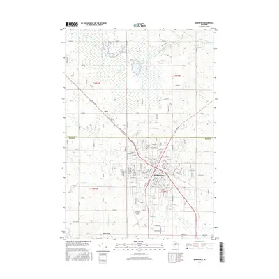
2015 Map of Marshfield
USGS Topo · Published 2015About this map
Marshfield serves as the central hub of this Wisconsin landscape, where the northern city limits meet the expansive McMillan Marsh. The city's grid is characterized by major thoroughfares like Veterans Pkwy and McMillan St, while the Hillside Cem and the Marshfield Municipal Airport anchor the suburban fringe. The map illustrates a complex relationship between urban development and the surrounding wetlands, particularly visible as the McMillan Reservoir and Main Flowage regulate water levels along the Little Eau Pleine River.
Find a feature on this map
106 named features on this map. Tap any name to fly to it.
Don’t see what you’re looking for? This feature index may not catch every label — zoom into the map to look around manually.
Map Details
Editions of this 2015 Marshfield Map
This is the sole edition of this map. No revisions or reprints were ever made.
Other maps of this area

1902 · Marathon
USGS Topo · 1:125,000
1953 · Abbotsford
USGS Topo · 1:48,000
1953 · Stratford
USGS Topo · 1:48,000

1953 · Eau Claire
USGS Topo · 1:250,000
1954 · Granton
USGS Topo · 1:62,500
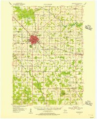
1954 · Marshfield
USGS Topo · 1:62,500

1958 · Eau Claire
USGS Topo · 1:250,000
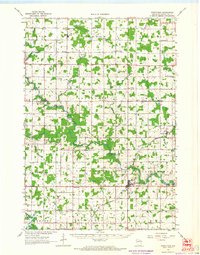
1963 · Stratford
USGS Topo · 1:62,500
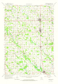
1963 · Abbotsford
USGS Topo · 1:62,500

1964 · Eau Claire
USGS Topo · 1:250,000