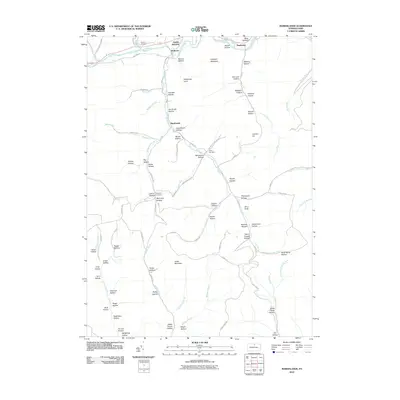
2010 Map of Marshlands
USGS Topo · Published 2010About this map
Pine Creek flows through the northern reaches of this Tioga County landscape, passing the small settlements of Gaines Junction, Watrous, and Manhattan. The terrain is defined by an intricate network of narrow valleys and named hollows, many reflecting local family names such as John Smith Hollow, McCracker Hollow, and Shaver Hollow. Higher elevations like Elephant Mountain and Cedar Mountain overlook a complex watershed where Elk Run and Kettle Creek navigate the deep drainages.
Find a feature on this map
94 named features on this map. Tap any name to fly to it.
Don’t see what you’re looking for? This feature index may not catch every label — zoom into the map to look around manually.
Map Details
Editions of this 2010 Marshlands Map
This is the sole edition of this map. No revisions or reprints were ever made.
Other maps of this area

1899 · Gaines
USGS Topo · 1:62,500

1900 · Gaines
USGS Topo · 1:62,500

1900 · Elkland
USGS Topo · 1:62,500

1946 · Tiadaghton
USGS Topo · 1:24,000

1946 · Antrim
USGS Topo · 1:62,500

1946 · Cedar Run
USGS Topo · 1:24,000

1947 · Galeton
USGS Topo · 1:62,500

1947 · Lee Fire Tower
USGS Topo · 1:24,000
1947 · Oleona
USGS Topo · 1:24,000

1947 · Galeton
USGS Topo · 1:24,000