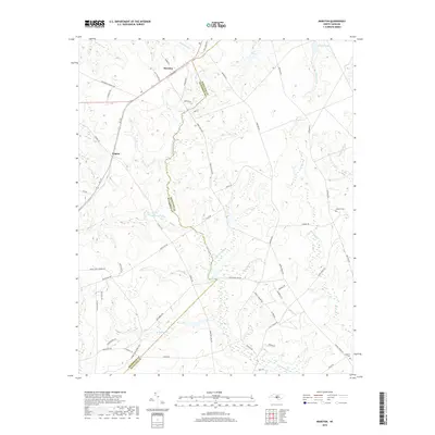
2019 Map of Marston
USGS Topo · Published 2019About this map
The border between Richmond and Scotland Counties divides this region of the Sandhills, where the settlements of Marston and Cognac sit along the western edge of the survey. The landscape is defined by an intricate network of wetlands and small water bodies, including Gum Swamp, Pine Lake, and McLeods Lake, which feed into the larger drainage systems of Gum Swamp Cr and Hitchcock Cr. Further east, the terrain becomes increasingly rural as it moves toward Scotland Lake. The pattern of development follows the local road system, specifically NC 177, connecting these small communities to the surrounding farmland and timber tracts. Genealogists may find particular interest in the locations of Watson Cem and Livingston Cem, while the various creek branches like Tuckahoe Br and Undermine Br provide a clear view of the natural hydrology that shaped local land use and boundaries.
Find a feature on this map
61 named features on this map. Tap any name to fly to it.
Don’t see what you’re looking for? This feature index may not catch every label — zoom into the map to look around manually.
Map Details
Editions of this 2019 Marston Map
This is the sole edition of this map. No revisions or reprints were ever made.
Other maps of this area

1942 · Troy
USGS Topo · 1:125,000

1942 · Rockingham
USGS Topo · 1:125,000

1948 · Southern Pines
USGS Topo · 1:62,500

1948 · Pinebluff
USGS Topo · 1:24,000

1949 · Gibson
USGS Topo · 1:24,000

1949 · Millstone Lake
USGS Topo · 1:24,000

1949 · Ghio
USGS Topo · 1:24,000

1949 · Laurinburg
USGS Topo · 1:24,000

1949 · Silver Hill
USGS Topo · 1:24,000

1949 · Hoffman
USGS Topo · 1:24,000