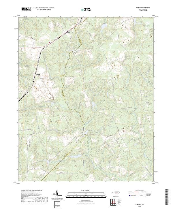
2022 Map of Marston
USGS Topo · Published 2022About this map
The boundary between Richmond and Scotland counties defines the rural landscape of this region, where the small communities of Marston and Cognac are centered along the NC 177 corridor. The geography is characterized by an intricate drainage system including the meandering Gum Swamp Cr, Hitchcock Cr, and Jordan Cr. Numerous small bodies of water and wetlands, such as Pine Lake, McLeods Lake, and Routers Bog, are dispersed throughout the wooded terrain, reflecting the hydrological complexity of the Carolina Sandhills.
Find a feature on this map
60 named features on this map. Tap any name to fly to it.
Don’t see what you’re looking for? This feature index may not catch every label — zoom into the map to look around manually.
Map Details
Editions of this 2022 Marston Map
This is the sole edition of this map. No revisions or reprints were ever made.
Other maps of this area

1942 · Troy
USGS Topo · 1:125,000

1942 · Rockingham
USGS Topo · 1:125,000

1948 · Southern Pines
USGS Topo · 1:62,500

1948 · Pinebluff
USGS Topo · 1:24,000

1949 · Gibson
USGS Topo · 1:24,000

1949 · Millstone Lake
USGS Topo · 1:24,000

1949 · Ghio
USGS Topo · 1:24,000

1949 · Laurinburg
USGS Topo · 1:24,000

1949 · Silver Hill
USGS Topo · 1:24,000

1949 · Hoffman
USGS Topo · 1:24,000