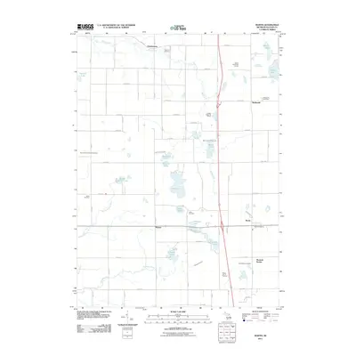
2011 Map of Martin
USGS Topo · Published 2011About this map
Martin and the surrounding Allegan County countryside are defined by a dense network of sectional roads and glacial water bodies. The settlement pattern is anchored by small community centers like Shelbyville, Watson, and the historic rail-associated Monteith Station. Families with roots in the area will find several established burial grounds including Ingerson Cemetery near the northern boundary and South Martin Cemetery to the southeast.
Find a feature on this map
63 named features on this map. Tap any name to fly to it.
Don’t see what you’re looking for? This feature index may not catch every label — zoom into the map to look around manually.
Map Details
Editions of this 2011 Martin Map
This is the sole edition of this map. No revisions or reprints were ever made.
Other maps of this area

1916 · Kalamazoo
USGS Topo · 1:62,500

1918 · Kalamazoo
USGS Topo · 1:62,500

1943 · Kalamazoo
USGS Topo · 1:62,500

1946 · Gobles
USGS Topo · 1:62,500

1948 · Gobles
USGS Topo · 1:62,500

1949 · Gobles
USGS Topo · 1:62,500

1958 · Allegan
USGS Topo · 1:62,500

1958 · Grand Rapids
USGS Topo · 1:250,000

1959 · Wayland
USGS Topo · 1:62,500

1961 · Grand Rapids
USGS Topo · 1:250,000