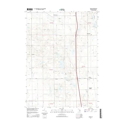
2014 Map of Martin
USGS Topo · Published 2014About this map
Monteith Station and the village of Martin anchor the eastern corridor of this Allegan County landscape, where glacial legacy has carved a dense network of small kettle lakes and drainage basins. The terrain is defined by water bodies with distinctive local names, including Shagnasty Lake, Pickerel Lake, and Big Lake, which dot the central township lines. Traces of early settlement and community identity are visible through numerous small burial grounds such as Sacred Heart Catholic Cem and Miner Cem, often situated near the crossroads of the section-line road grid. The presence of School Section Lake and School Section Brook highlights the historical division of public lands. In the western portion, the hamlet of Watson sits amidst a network of drains and brooks, including Schnable Brook and Goldspring Drain, illustrating the region's long-standing efforts to manage the wetlands for agricultural and residential use.
Find a feature on this map
59 named features on this map. Tap any name to fly to it.
Don’t see what you’re looking for? This feature index may not catch every label — zoom into the map to look around manually.
Map Details
Editions of this 2014 Martin Map
This is the sole edition of this map. No revisions or reprints were ever made.
Other maps of this area

1916 · Kalamazoo
USGS Topo · 1:62,500

1918 · Kalamazoo
USGS Topo · 1:62,500

1943 · Kalamazoo
USGS Topo · 1:62,500

1946 · Gobles
USGS Topo · 1:62,500

1948 · Gobles
USGS Topo · 1:62,500

1949 · Gobles
USGS Topo · 1:62,500

1958 · Allegan
USGS Topo · 1:62,500

1958 · Grand Rapids
USGS Topo · 1:250,000

1959 · Wayland
USGS Topo · 1:62,500

1961 · Grand Rapids
USGS Topo · 1:250,000