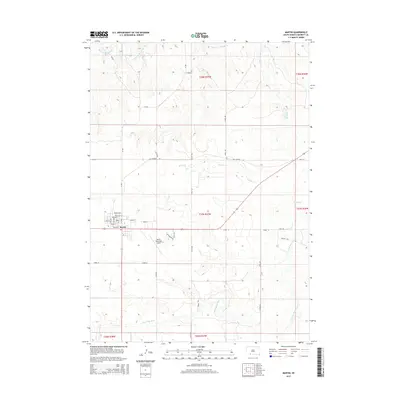
2015 Map of Martin
USGS Topo · Published 2015About this map
Martin serves as the central hub of this Great Plains landscape, where the street grid of the town center meets the surrounding agricultural expanse of Bennett County. The town layout is clearly defined by historical thoroughfares like Main St and Dakota St, while the local transportation network is anchored by the Martin Municipal Airport to the south. The surrounding terrain is dissected by numerous waterways that drain the prairie, including the meandering path of the Little White River and several smaller streams like Bear-in-the-Lodge Cr and Heckel Cr. The map preserves the alignment of the Old Highway 18, illustrating the transition from traditional routes to the modern section line roads like CR-658 and 221st Ave that now organize the rural landscape.
Find a feature on this map
36 named features on this map. Tap any name to fly to it.
Don’t see what you’re looking for? This feature index may not catch every label — zoom into the map to look around manually.
Map Details
Editions of this 2015 Martin Map
This is the sole edition of this map. No revisions or reprints were ever made.
Other maps of this area

1955 · Martin
USGS Topo · 1:250,000

1958 · Martin
USGS Topo · 1:250,000

1981 · Patricia
USGS Topo · 1:25,000

1981 · Phantom Lake
USGS Topo · 1:25,000

1981 · Martin
USGS Topo · 1:25,000

1981 · Allen
USGS Topo · 1:25,000

1981 · Ecoffey Lake
USGS Topo · 1:25,000

1981 · Swett
USGS Topo · 1:25,000

1983 · Martin
USGS Topo · 1:100,000
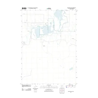
2012 · Phantom Lake
USGS Topo · 1:24,000