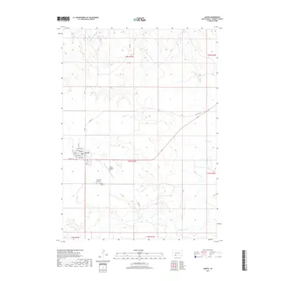
2017 Map of Martin
USGS Topo · Published 2017About this map
Martin serves as a vital hub in Bennett County, anchored by a grid of local streets including Main St, Dakota St, and Bennett Ave. The settlement is bordered by the wide drainage of the Little White River to the south and several intermittent creeks like Heckel Cr and Bad Hair Cr to the north and east. This 2017 survey reflects the layout of the community and its surrounding agricultural landscape, highlighting key local landmarks for genealogists and researchers. South of the town center, Our Lady of the Sacred Heart Cem and the Martin Community Cem stand near the Martin Municipal Airport. The mapping of sections like t37n r37w provides a clear view of the land division and rural road networks, including Turkey Rd and the path of Old Hwy 73.
Find a feature on this map
27 named features on this map. Tap any name to fly to it.
Don’t see what you’re looking for? This feature index may not catch every label — zoom into the map to look around manually.
Map Details
Editions of this 2017 Martin Map
This is the sole edition of this map. No revisions or reprints were ever made.
Other maps of this area

1955 · Martin
USGS Topo · 1:250,000

1958 · Martin
USGS Topo · 1:250,000

1981 · Patricia
USGS Topo · 1:25,000

1981 · Phantom Lake
USGS Topo · 1:25,000

1981 · Martin
USGS Topo · 1:25,000

1981 · Allen
USGS Topo · 1:25,000

1981 · Ecoffey Lake
USGS Topo · 1:25,000

1981 · Swett
USGS Topo · 1:25,000

1983 · Martin
USGS Topo · 1:100,000
2012 · Phantom Lake
USGS Topo · 1:24,000