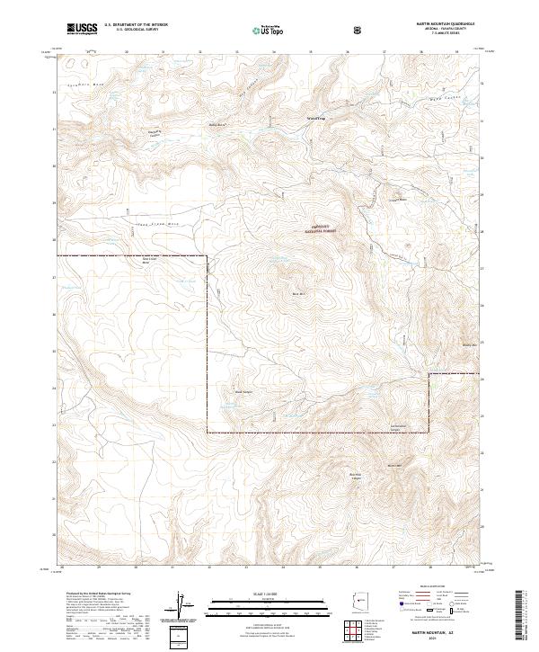
2021 Map of Martin Mountain
USGS Topo · Published 2021About this map
Prescott National Forest encompasses the majority of this high-elevation terrain in Yavapai County, defined by a complex network of canyons and mesas. The landscape is punctuated by prominent landmarks such as Martin Mtn and Bald Mtn, with local hydrography centered on seasonal flows and scattered water sources. Water management is evident through numerous livestock tanks like Hudson Tank and North Bald Mountain Tank, which support ranching activities in this arid environment.
Find a feature on this map
46 named features on this map. Tap any name to fly to it.
Don’t see what you’re looking for? This feature index may not catch every label — zoom into the map to look around manually.
Map Details
Editions of this 2021 Martin Mountain Map
This is the sole edition of this map. No revisions or reprints were ever made.
Other maps of this area

1887 · Prescott
USGS Topo · 1:250,000

1892 · Prescott
USGS Topo · 1:250,000

1903 · Congress
USGS Topo · 1:125,000

1904 · Congress
USGS Topo · 1:125,000

1947 · Iron Springs
USGS Topo · 1:62,500

1947 · Kirkland
USGS Topo · 1:62,500

1947 · Sheridan Mountain
USGS Topo · 1:62,500

1948 · Sheridan Mountain
USGS Topo · 1:63,360

1948 · Iron Springs
USGS Topo · 1:63,360

1948 · Kirkland
USGS Topo · 1:63,360