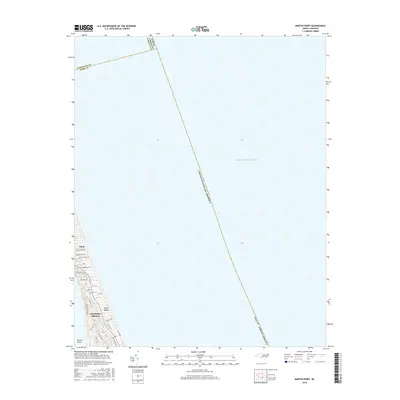
2016 Map of Martin Point
USGS Topo · Published 2016About this map
Southern Shores and Duck occupy the narrow strip of the Outer Banks on this coastal survey, where the Atlantic coast meets a complex network of residential development. The landscape is defined by a dense grid of local thoroughfares such as Sea Oats Trl, N Dogwood Trl, and Ocean Blvd, which navigate the stabilized dunes and maritime forest areas. Near the southern end of the landform, Martin Point serves as a prominent landmark before the barrier island continues south. This record illustrates the modern era of the North Carolina coast, showing how communities have integrated into the delicate environment of the Atlantic Ocean shoreline. The map also delineates the maritime boundary between Currituck and Dare Counties, tracing a line far out into the open sea.
Find a feature on this map
28 named features on this map. Tap any name to fly to it.
Don’t see what you’re looking for? This feature index may not catch every label — zoom into the map to look around manually.
Map Details
Editions of this 2016 Martin Point Map
This is the sole edition of this map. No revisions or reprints were ever made.
Other maps of this area

1940 · Barco
USGS Topo · 1:62,500

1940 · Kitty Hawk
USGS Topo · 1:62,500

1940 · Powells Point
USGS Topo · 1:62,500

1946 · Eastville
USGS Topo · 1:250,000

1946 · Currituck Sound
USGS Topo · 1:250,000

1961 · Eastville
USGS Topo · 1:250,000

1966 · Eastville
USGS Topo · 1:250,000
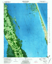
1982 · Jarvisburg
USGS Topo · 1:24,000
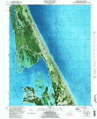
1982 · Kitty Hawk
USGS Topo · 1:24,000
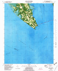
1982 · Point Harbor
USGS Topo · 1:24,000