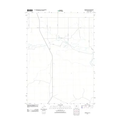
2012 Map of Martin SW
USGS Topo · Published 2012About this map
Lake Cr meanders across this rural section of Bennett County, defining the drainage patterns of a landscape marked by a strict section-line road grid. The geography here is predominantly open, with scattered water features like Cedar Cr in the southeastern corner. This 2012 survey illustrates the modern layout of rural infrastructure, where local travel relies on a network of numbered avenues and named roads such as Vireo Rd and Robin Rd. The map is characterized by its sparse development, typical of the High Plains, where human presence is mostly indicated by the intersections of routes like 296th St and 221st Ave. It provides a clear view of how land management and transportation are organized in this part of South Dakota, well away from major urban centers.
Find a feature on this map
14 named features on this map. Tap any name to fly to it.
Don’t see what you’re looking for? This feature index may not catch every label — zoom into the map to look around manually.
Map Details
Editions of this 2012 Martin SW Map
This is the sole edition of this map. No revisions or reprints were ever made.
Other maps of this area

1950 · Irwin
USGS Topo · 1:62,500

1951 · Irwin
USGS Topo · 1:62,500

1951 · Merriman
USGS Topo · 1:62,500

1955 · Martin
USGS Topo · 1:250,000

1957 · Valentine
USGS Topo · 1:250,000

1958 · Martin
USGS Topo · 1:250,000

1959 · Valentine
USGS Topo · 1:250,000

1981 · Phantom Lake
USGS Topo · 1:25,000

1981 · Martin
USGS Topo · 1:25,000

1981 · Ecoffey Lake
USGS Topo · 1:25,000