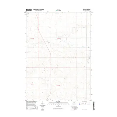
2015 Map of Martin SW
USGS Topo · Published 2015About this map
Lake Cr meanders across this landscape in southern Bennett County, carving a central drainage through the sectional grid of the Great Plains. The area is defined by its agricultural layout, where long-established section lines serve as the foundation for the local transportation network. Modern rural development is evidenced by the thematic naming of secondary routes such as Robin Rd, Vireo Rd, and Quail Dr. These roads intersect the primary north-south corridors like 220th Ave and 221st Ave, showing the methodical organization of the land into townships and ranges. The map provides a detailed view of the terrain around the drainage basin, capturing the sparse but structured nature of this South Dakota landscape in the early 21st century.
Find a feature on this map
17 named features on this map. Tap any name to fly to it.
Don’t see what you’re looking for? This feature index may not catch every label — zoom into the map to look around manually.
Map Details
Editions of this 2015 Martin SW Map
This is the sole edition of this map. No revisions or reprints were ever made.
Other maps of this area

1950 · Irwin
USGS Topo · 1:62,500

1951 · Irwin
USGS Topo · 1:62,500

1951 · Merriman
USGS Topo · 1:62,500

1955 · Martin
USGS Topo · 1:250,000

1957 · Valentine
USGS Topo · 1:250,000

1958 · Martin
USGS Topo · 1:250,000

1959 · Valentine
USGS Topo · 1:250,000

1981 · Phantom Lake
USGS Topo · 1:25,000

1981 · Martin
USGS Topo · 1:25,000

1981 · Ecoffey Lake
USGS Topo · 1:25,000