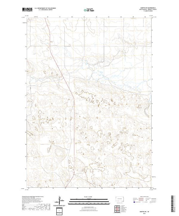
2021 Map of Martin SW
USGS Topo · Published 2021About this map
Lake Creek and its associated wetlands define the upper half of this Bennett County landscape, winding through a series of shallow basins and depressions typical of the High Plains. The drainage network is largely seasonal here, with Cedar Creek emerging in the eastern portion of the terrain as it cuts through the sandhills. This survey reflects the structured grid of the Public Land Survey System, illustrating the boundaries of t36n r38w, t36n r37w, t35n r38w, and t35n r37w. The absence of named settlements or major infrastructure highlights the open, rural character of this region during the early twenty-first century, where the land is primarily organized by section lines and natural watercourses.
Find a feature on this map
6 named features on this map. Tap any name to fly to it.
Don’t see what you’re looking for? This feature index may not catch every label — zoom into the map to look around manually.
Map Details
Editions of this 2021 Martin SW Map
This is the sole edition of this map. No revisions or reprints were ever made.
Other maps of this area

1950 · Irwin
USGS Topo · 1:62,500

1951 · Irwin
USGS Topo · 1:62,500

1951 · Merriman
USGS Topo · 1:62,500

1955 · Martin
USGS Topo · 1:250,000

1957 · Valentine
USGS Topo · 1:250,000

1958 · Martin
USGS Topo · 1:250,000

1959 · Valentine
USGS Topo · 1:250,000

1981 · Phantom Lake
USGS Topo · 1:25,000

1981 · Martin
USGS Topo · 1:25,000

1981 · Ecoffey Lake
USGS Topo · 1:25,000