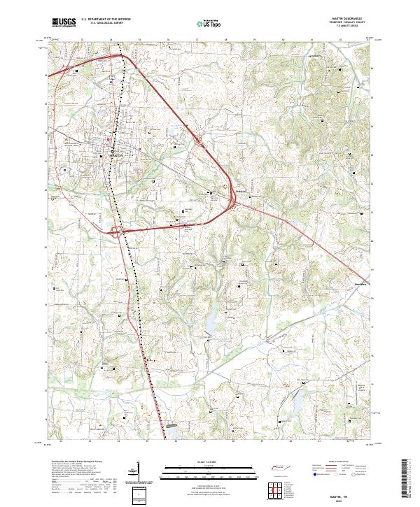
2022 Map of Martin
USGS Topo · Published 2022About this map
The University of Tennessee - Martin dominates the northwestern portion of this Weakley County landscape, where the street grid of Martin transitions into the surrounding agricultural terrain. A remarkable number of family and community burial grounds are scattered across the region, including the Yellow Fever Cem near the town center and the Bible Union Cem to the east. These small plots, such as the Andrew Baldridge Cem and Rice - Underwood Cem, provide a dense record of early settlement patterns and genealogical history throughout the rural corridors between Ralston and Hyndsver.
Find a feature on this map
152 named features on this map. Tap any name to fly to it.
Don’t see what you’re looking for? This feature index may not catch every label — zoom into the map to look around manually.
Map Details
Editions of this 2022 Martin Map
This is the sole edition of this map. No revisions or reprints were ever made.
Other maps of this area

1950 · Martin
USGS Topo · 1:24,000

1952 · Dresden
USGS Topo · 1:24,000

1954 · Rutherford
USGS Topo · 1:24,000

1954 · Greenfield
USGS Topo · 1:24,000

1956 · Gardner
USGS Topo · 1:24,000

1956 · Harris
USGS Topo · 1:24,000

1956 · Mc Connell
USGS Topo · 1:24,000

1956 · Latham
USGS Topo · 1:24,000

1956 · Dyersburg
USGS Topo · 1:250,000

1967 · Pillowville
USGS Topo · 1:24,000