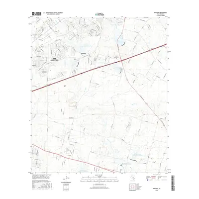
2016 Map of Martinez
USGS Topo · Published 2016About this map
China Grove and the namesake settlement of Martinez anchor this portion of Bexar County, documenting the suburban-rural interface east of San Antonio. The landscape is defined by an intricate drainage network including Escondido Creek and Chupaderas Creek, which are punctuated by numerous flood control structures like Soil Conservation Service Site 6 Reservoir and Site 7 Reservoir. These reservoirs reflect mid-to-late 20th-century water management efforts across the Texas prairie. For genealogists, the map preserves the locations of several burial grounds, from the Kempin Cem in the northeast to the Salem Cem and Mount Olive Cem further south. The transition from established neighborhoods in Kirby to the more open tracts around Calf Hill illustrates the varied development patterns that shaped this region as it grew into a modern metropolitan corridor.
Find a feature on this map
164 named features on this map. Tap any name to fly to it.
Don’t see what you’re looking for? This feature index may not catch every label — zoom into the map to look around manually.
Map Details
Editions of this 2016 Martinez Map
This is the sole edition of this map. No revisions or reprints were ever made.
Other maps of this area

1927 · New Braunfels
USGS Topo · 1:62,500

1953 · Schertz
USGS Topo · 1:24,000

1953 · San Antonio East
USGS Topo · 1:24,000

1953 · Longhorn
USGS Topo · 1:24,000

1953 · Elmendorf
USGS Topo · 1:24,000

1953 · Southton
USGS Topo · 1:24,000

1953 · Martinez
USGS Topo · 1:24,000

1954 · San Antonio
USGS Topo · 1:250,000

1957 · San Antonio
USGS Topo · 1:250,000

1958 · Marion
USGS Topo · 1:24,000