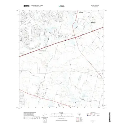
2019 Map of Martinez
USGS Topo · Published 2019About this map
The suburban expansion of San Antonio meets the agricultural heritage of eastern Bexar County in this contemporary landscape. Large-scale residential developments in Converse, Schertz, and Kirby press against established rural communities like St. Hedwig and China Grove. The terrain is defined by a series of south-flowing drainages, including Martinez Cr, Salitrillo Cr, and Calaveras Cr, several of which feature reservoirs managed by the Soil Conservation Service.
Find a feature on this map
176 named features on this map. Tap any name to fly to it.
Don’t see what you’re looking for? This feature index may not catch every label — zoom into the map to look around manually.
Map Details
Editions of this 2019 Martinez Map
This is the sole edition of this map. No revisions or reprints were ever made.
Other maps of this area

1927 · New Braunfels
USGS Topo · 1:62,500

1953 · Schertz
USGS Topo · 1:24,000

1953 · San Antonio East
USGS Topo · 1:24,000

1953 · Longhorn
USGS Topo · 1:24,000

1953 · Elmendorf
USGS Topo · 1:24,000

1953 · Southton
USGS Topo · 1:24,000

1953 · Martinez
USGS Topo · 1:24,000

1954 · San Antonio
USGS Topo · 1:250,000

1957 · San Antonio
USGS Topo · 1:250,000

1958 · Marion
USGS Topo · 1:24,000