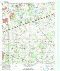
1992 Map of Martinez
USGS Topo · Published 1992About this map
China Grove and Martinez sit at the intersection of suburban expansion and rural heritage on the eastern edge of San Antonio. This 1992 revision, based on photography from the mid-1980s, captures the shifting boundaries of San Antonio, Converse, and Schertz as they began to encroach upon historically agricultural lands. The landscape is defined by several drainage systems, including Salitrillo Creek and Calaveras Creek, which are dotted with numerous small dams and spillways designed for water management.
Find a feature on this map
38 named features on this map. Tap any name to fly to it.
Don’t see what you’re looking for? This feature index may not catch every label — zoom into the map to look around manually.
Map Details
Editions of this 1992 Martinez Map
This is the sole edition of this map. No revisions or reprints were ever made.
Other maps of this area
1927 · New Braunfels
USGS Topo · 1:62,500
1953 · Schertz
USGS Topo · 1:24,000
1953 · San Antonio East
USGS Topo · 1:24,000
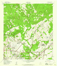
1953 · Longhorn
USGS Topo · 1:24,000
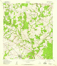
1953 · Elmendorf
USGS Topo · 1:24,000
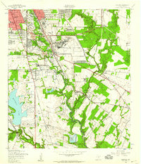
1953 · Southton
USGS Topo · 1:24,000
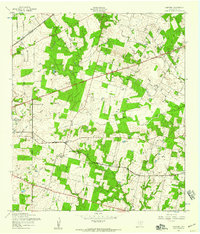
1953 · Martinez
USGS Topo · 1:24,000

1954 · San Antonio
USGS Topo · 1:250,000
1957 · San Antonio
USGS Topo · 1:250,000
1958 · Marion
USGS Topo · 1:24,000