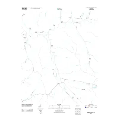
2013 Map of Martins Mills
USGS Topo · Published 2013About this map
Lutts and Martins Mills anchor a landscape defined by an intricate network of hollows and ridges in this portion of Wayne County. The settlement at Houston sits at the northern edge of the map, where Indian Cr and Davis Br converge. The topography is deeply dissected, characterized by numerous family-named landmarks such as Smith Hollow, Alexander Hollow, and Whitaker Hollow, suggesting a long history of generational landholding and rural residency.
Find a feature on this map
67 named features on this map. Tap any name to fly to it.
Don’t see what you’re looking for? This feature index may not catch every label — zoom into the map to look around manually.
Map Details
Editions of this 2013 Martins Mills Map
This is the sole edition of this map. No revisions or reprints were ever made.
Other maps of this area

1905 · Waynesboro
USGS Topo · 1:125,000

1936 · Wolf Pit Ridge
USGS Topo · 1:24,000

1936 · Eagle Creek
USGS Topo · 1:24,000

1936 · Olivehill
USGS Topo · 1:24,000

1936 · Cypress Inn
USGS Topo · 1:24,000

1936 · Three Churches
USGS Topo · 1:24,000

1936 · Ransom Stand
USGS Topo · 1:24,000

1936 · Lowryville
USGS Topo · 1:24,000

1936 · Waynesboro
USGS Topo · 1:24,000

1936 · Martins Mills
USGS Topo · 1:24,000