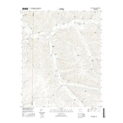
2016 Map of Martins Mills
USGS Topo · Published 2016About this map
Indian Creek and its many tributaries, such as Rayburn Cr and Morgan Cr, define the drainage patterns of this section of the Tennessee-Alabama borderlands. The landscape is marked by a high density of small family and community burial grounds, reflecting the deep-rooted genealogical history of the area. Small settlements like Martins Mills and Lutts serve as local hubs, connected by a network of winding roads like Old Weatherford Creek Rd and Horse Creek Rd.
Find a feature on this map
88 named features on this map. Tap any name to fly to it.
Don’t see what you’re looking for? This feature index may not catch every label — zoom into the map to look around manually.
Map Details
Editions of this 2016 Martins Mills Map
This is the sole edition of this map. No revisions or reprints were ever made.
Other maps of this area

1905 · Waynesboro
USGS Topo · 1:125,000

1936 · Wolf Pit Ridge
USGS Topo · 1:24,000

1936 · Eagle Creek
USGS Topo · 1:24,000

1936 · Olivehill
USGS Topo · 1:24,000

1936 · Cypress Inn
USGS Topo · 1:24,000

1936 · Three Churches
USGS Topo · 1:24,000

1936 · Ransom Stand
USGS Topo · 1:24,000

1936 · Lowryville
USGS Topo · 1:24,000

1936 · Waynesboro
USGS Topo · 1:24,000

1936 · Martins Mills
USGS Topo · 1:24,000