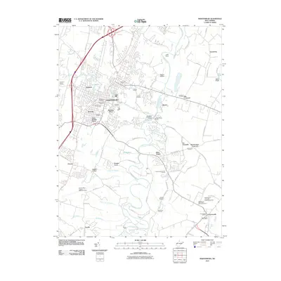
2010 Map of Martinsburg
USGS Topo · Published 2010About this map
Martinsburg serves as the focal point of this 2010 survey, showing the city's residential neighborhoods and industrial corridors as they appeared at the start of the decade. Historical depth is evident in the dense concentration of burial grounds, including the Old Norbourne Cemetery, Saint Josephs Cemetery, and the Hebrew Cemetery. The landscape is defined by the winding path of Opequon Creek, which is spanned by the Van Metre Ford Stone Bridge near Blairton.
Find a feature on this map
101 named features on this map. Tap any name to fly to it.
Don’t see what you’re looking for? This feature index may not catch every label — zoom into the map to look around manually.
Map Details
Editions of this 2010 Martinsburg Map
This is the sole edition of this map. No revisions or reprints were ever made.
Other maps of this area

1884 · Harpers Ferry
USGS Topo · 1:125,000

1891 · Harpers Ferry
USGS Topo · 1:125,000

1893 · Harpers Ferry
USGS Topo · 1:125,000

1894 · Winchester
USGS Topo · 1:125,000

1899 · Hancock
USGS Topo · 1:62,500

1901 · Hancock
USGS Topo · 1:62,500

1912 · Williamsport
USGS Topo · 1:62,500

1914 · Martinsburg
USGS Topo · 1:48,000
1914 · Gerrardstown
USGS Topo · 1:48,000
1916 · Gerrardstown
USGS Topo · 1:62,500