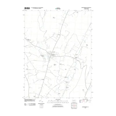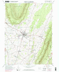
1963 Map of Martinsburg
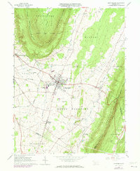
USGS Topo · Published 1977About this map
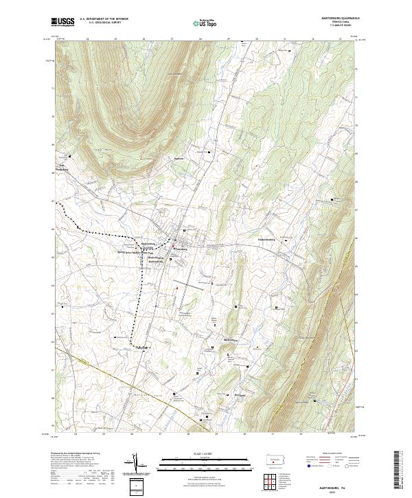
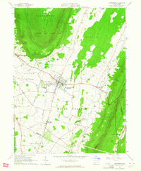
Martinsburg serves as the central hub of this agricultural and mountain landscape, situated in the fertile valley between the prominent ridges of Loop Mountain and Tussey Mountain. The map illustrates a community deeply connected by transport and industry, featuring the Penn Central rail lines connecting Martinsburg Junction to Curryville (Curry Sta). The presence of numerous small family and community burial grounds, such as Detwiler Cem and Kensinger Cem, along with the Rebecca Furnace Cem, points to the long-standing settlement history of the region.
Find a feature on this map
51 named features on this map. Tap any name to fly to it.
Don’t see what you’re looking for? This feature index may not catch every label — zoom into the map to look around manually.
Map Details
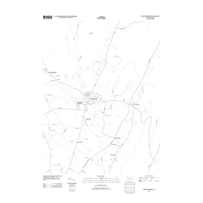
Editions of this 1963 Martinsburg Map
3 editions found
Historical Maps of Frankstown Township Through Time
6 maps found