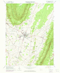
1963 Map of Martinsburg
USGS Topo · Published 1973About this map
Morrison's Cove is anchored here by Martinsburg, a central agricultural and aviation hub during the early 1960s. The landscape is defined by the parallel ridges of Lock Mountain and Tussey Mountain, with the valley floor between them supporting a dense network of family-named cemeteries and small rural congregations. These features, including the Mennonite Cem, Fairview Cem, and Diehls Crossroads Ch, speak to the deep-rooted German sectarian heritage of this part of Blair County.
Find a feature on this map
48 named features on this map. Tap any name to fly to it.
Don’t see what you’re looking for? This feature index may not catch every label — zoom into the map to look around manually.
Map Details
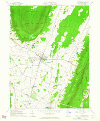
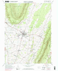
Editions of this 1963 Martinsburg Map
3 editions found
Other maps of this area

1900 · Everett
USGS Topo · 1:62,500

1901 · Huntingdon
USGS Topo · 1:62,500

1902 · Everett
USGS Topo · 1:62,500

1902 · Hollidaysburg
USGS Topo · 1:62,500

1903 · Hollidaysburg
USGS Topo · 1:62,500

1904 · Huntingdon
USGS Topo · 1:62,500

1930 · Broad Top
USGS Topo · 1:62,500

1933 · Broad Top
USGS Topo · 1:62,500

1953 · Pittsburgh
USGS Topo · 1:250,000

1954 · Pittsburgh
USGS Topo · 1:250,000