2022 Map of Martinsville
USGS Topo · Published 2022About this map
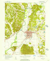
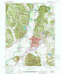
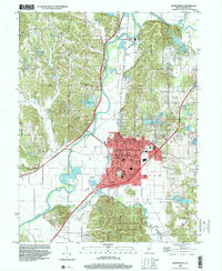
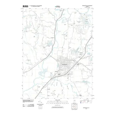
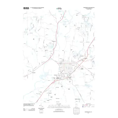
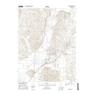
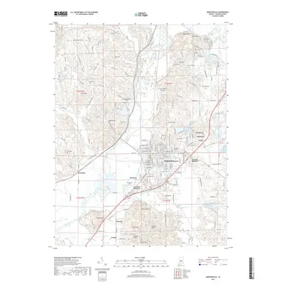
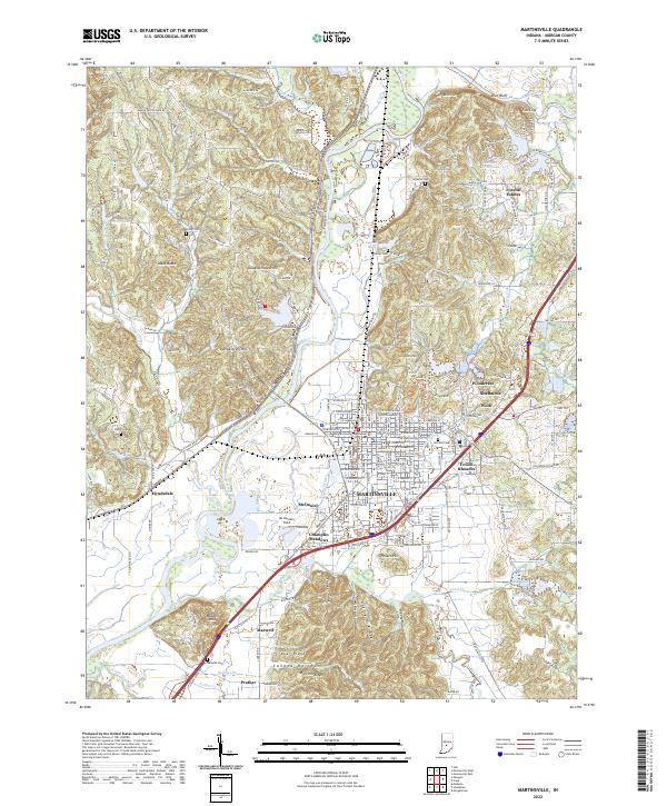
The Morgan County Courthouse stands as the central point of Martinsville, a city defined by its proximity to the winding White River. This 2022 survey documents the contemporary landscape of Morgan County, where suburban developments like Foxcliff Estates and Shelburne meet the river's alluvial plain. The terrain north of the city is marked by prominent elevations such as Blue Bluff and Slaughterhouse Hill, while the southern reaches follow the drainage of Indian Creek and Buckner Br. For genealogists, the map is a vital resource, accurately locating several local burial grounds including Foster Cem, Nutter Cem, and Shultz Cem. The transition from historic routes like Old State Rd 37 N to modern infrastructure is clearly visible, providing a spatial record of how the community has expanded around older settlements like Hyndsdale and Maxwell.
Find a feature on this map
59 named features on this map. Tap any name to fly to it.
Don’t see what you’re looking for? This feature index may not catch every label — zoom into the map to look around manually.
Map Details
Editions of this 2022 Martinsville Map
This is the sole edition of this map. No revisions or reprints were ever made.
Historical Maps of Martinsville Through Time
8 maps found