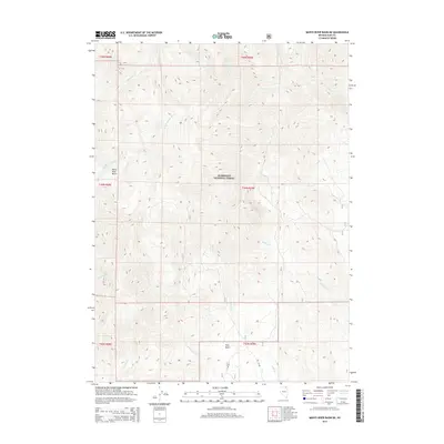
2015 Map of Marys River Basin NE
USGS Topo · Published 2015About this map
The Humboldt National Forest covers much of this high-elevation landscape in Elko County, defined by the headwaters and drainages that feed the Marys River system. The area is characterized by significant topographical depressions, most notably the Marys River Basin in the west and Pete Basin to the south. These natural catchments are fed by a complex network of perennial and seasonal streams, including the E Fork Marys River and the Right Fork Camp Cr.
Find a feature on this map
25 named features on this map. Tap any name to fly to it.
Don’t see what you’re looking for? This feature index may not catch every label — zoom into the map to look around manually.
Map Details
Editions of this 2015 Marys River Basin NE Map
This is the sole edition of this map. No revisions or reprints were ever made.
Other maps of this area

1943 · Jarbidge
USGS Topo · 1:62,500

1945 · Jarbidge
USGS Topo · 1:62,500

1955 · Wells
USGS Topo · 1:250,000

1957 · Elk Mountain
USGS Topo · 1:62,500

1958 · Wells
USGS Topo · 1:250,000

1961 · Wells
USGS Topo · 1:250,000

1968 · Charleston Reservoir
USGS Topo · 1:24,000

1968 · Marys River Basin NE
USGS Topo · 1:24,000

1968 · Marys River Basin SE
USGS Topo · 1:24,000

1968 · Hot Creek
USGS Topo · 1:24,000