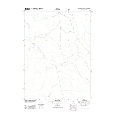
2012 Map of Marys River Basin SE
USGS Topo · Published 2012About this map
Marys River winds through this high-desert basin in Elko County, defining a landscape of riparian corridors and remote ranchlands. The topography is dominated by an extensive network of springs and seasonal drainages that sustain the local livestock economy, centered on the historic Greggs Ranch. Notable water sources such as Anderson Spring Number One, Anderson Spring Number Two, and Union Spring Number Eight appear throughout the quadrangle, illustrating the vital importance of groundwater in this arid region. The road network is sparse, consisting primarily of Forest Development routes like NFD 078 RD, which facilitate access across the open range between Meadow Creek and T Creek. This 2012 survey by the U.S. Geological Survey preserves the locations of numerous family-named landmarks and water features essential for modern land management and historical research.
Find a feature on this map
17 named features on this map. Tap any name to fly to it.
Don’t see what you’re looking for? This feature index may not catch every label — zoom into the map to look around manually.
Map Details
Editions of this 2012 Marys River Basin SE Map
This is the sole edition of this map. No revisions or reprints were ever made.
Other maps of this area

1955 · Wells
USGS Topo · 1:250,000

1958 · Wells
USGS Topo · 1:250,000

1961 · Wells
USGS Topo · 1:250,000

1967 · Stag Mountain
USGS Topo · 1:24,000

1967 · Buena Vista Ranch
USGS Topo · 1:24,000

1967 · Hanks Creek NE
USGS Topo · 1:24,000

1968 · Charleston Reservoir
USGS Topo · 1:24,000

1968 · Marys River Basin NE
USGS Topo · 1:24,000

1968 · Marys River Basin SE
USGS Topo · 1:24,000

1968 · Hot Creek
USGS Topo · 1:24,000