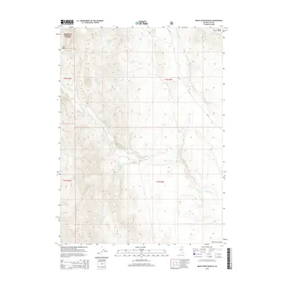
2014 Map of Marys River Basin SE
USGS Topo · Published 2014About this map
The Marys River winds through this high-elevation basin in Elko County, marking a landscape defined by seasonal drainages and essential water sources in the Great Basin. This area within the Humboldt National Forest is characterized by a network of numbered springs, including Anderson Spring Number One, Anderson Spring Number Two, and Union Spring Number Eight, which have served as critical watering points for livestock and wildlife for generations. The terrain transitions from the alluvial floor of the Marys River Range to the distinct geological depression of Chalk Basin. The presence of established Forest Service routes like NF-306 and NF-309 illustrates the continued importance of land management and backcountry access in this northeastern corner of Nevada.
Find a feature on this map
20 named features on this map. Tap any name to fly to it.
Don’t see what you’re looking for? This feature index may not catch every label — zoom into the map to look around manually.
Map Details
Editions of this 2014 Marys River Basin SE Map
This is the sole edition of this map. No revisions or reprints were ever made.
Other maps of this area

1955 · Wells
USGS Topo · 1:250,000

1958 · Wells
USGS Topo · 1:250,000

1961 · Wells
USGS Topo · 1:250,000

1967 · Stag Mountain
USGS Topo · 1:24,000

1967 · Buena Vista Ranch
USGS Topo · 1:24,000

1967 · Hanks Creek NE
USGS Topo · 1:24,000

1968 · Charleston Reservoir
USGS Topo · 1:24,000

1968 · Marys River Basin NE
USGS Topo · 1:24,000

1968 · Marys River Basin SE
USGS Topo · 1:24,000

1968 · Hot Creek
USGS Topo · 1:24,000