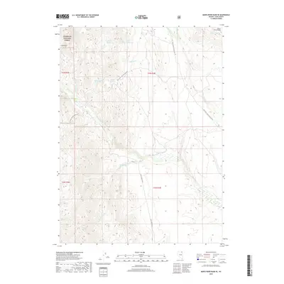
2018 Map of Marys River Basin SE
USGS Topo · Published 2018About this map
Marys Creek Ranch lies at the heart of this high-desert basin, where seasonal drainages descend from the Marys River Range into the broad valley of the Marys River. This 2018 survey documents a landscape of water management and forest access, notably within the boundaries of the Humboldt National Forest. The map detail reveals a system of numbered springs, such as Anderson Spring Number One and Union Spring Number Eight, which are essential nodes for ranching and wildlife in this arid environment. The terrain is defined by dramatic elevation changes from the floor of Chalk Basin to the upland ridges. A network of Forest Service roads, including Natl Forest Develop Road 308 Rd, provides the primary transit through the complex topography of Deep Canyon Cr and Meadow Cr.
Find a feature on this map
25 named features on this map. Tap any name to fly to it.
Don’t see what you’re looking for? This feature index may not catch every label — zoom into the map to look around manually.
Map Details
Editions of this 2018 Marys River Basin SE Map
This is the sole edition of this map. No revisions or reprints were ever made.
Other maps of this area

1955 · Wells
USGS Topo · 1:250,000

1958 · Wells
USGS Topo · 1:250,000

1961 · Wells
USGS Topo · 1:250,000

1967 · Stag Mountain
USGS Topo · 1:24,000

1967 · Buena Vista Ranch
USGS Topo · 1:24,000

1967 · Hanks Creek NE
USGS Topo · 1:24,000

1968 · Charleston Reservoir
USGS Topo · 1:24,000

1968 · Marys River Basin NE
USGS Topo · 1:24,000

1968 · Marys River Basin SE
USGS Topo · 1:24,000

1968 · Hot Creek
USGS Topo · 1:24,000