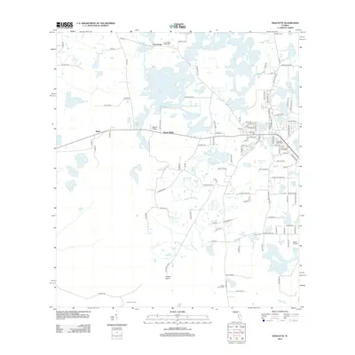
2024 Map of Mascotte
USGS Topo · Published 2024About this map
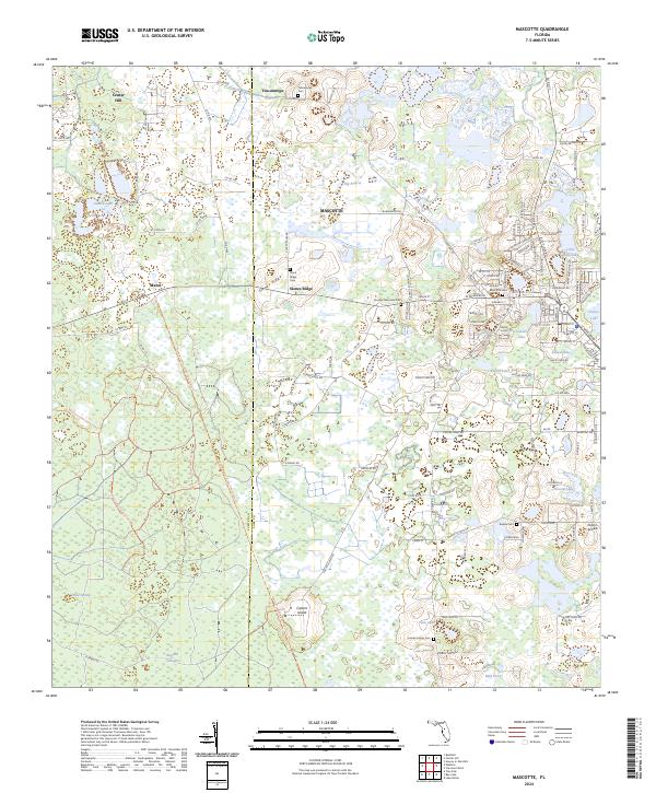
Mascotte serves as the central hub of this Lake County landscape, where the street grid meets a complex network of wetlands and ridges. To the west, the General James A Van Fleet State Trl cuts a straight line through the Withlacoochee State Forest, following the path of a former rail corridor that once linked the rural settlements of Center Hill and Mabel. The topography is defined by distinctive rises such as Slones Ridge and Carters Island, which provide dry ground amidst expansive lowlands like Big Prairie and Head Swamp. Local history is deeply etched into the land through a series of family and community burial grounds, including the Stuckey Memorial Cem and Fender Family Cem, alongside numerous small water bodies like Gallows Lake and Sunset Lake that dot the residential fringes of the city.
Find a feature on this map
129 named features on this map. Tap any name to fly to it.
Don’t see what you’re looking for? This feature index may not catch every label — zoom into the map to look around manually.
Map Details
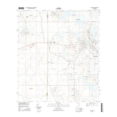
Editions of this 2024 Mascotte Map
This is the sole edition of this map. No revisions or reprints were ever made.
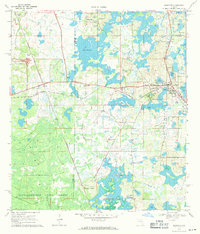
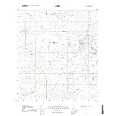
Historical Maps of Groveland Through Time
6 maps found