
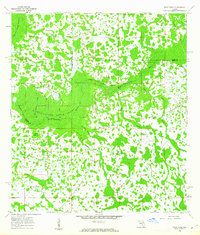
1959 Map of Lake Nellie
USGS Topo · Published 1960About this map
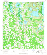
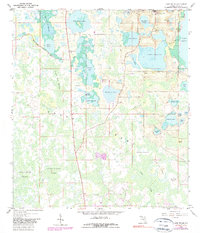
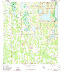
Lake Nellie and the expansive Green Swamp dominate this central Florida landscape, recorded during a period of significant hydrological mapping in the late 1950s. The region is defined by an intricate network of interconnected freshwater bodies, including Saw Mill Lake, Pine Island Lake, and Kirkland Lake. This environment created a unique layout for early development, with the settlement of South Clermont emerging at the northern edge where the lakes transition into more stable ground.
Find a feature on this map
39 named features on this map. Tap any name to fly to it.
Don’t see what you’re looking for? This feature index may not catch every label — zoom into the map to look around manually.
Map Details
Editions of this 1959 Lake Nellie Map
4 editions found
Other maps of this area

1955 · Orlando
USGS Topo · 1:250,000

1957 · Orlando
USGS Topo · 1:250,000

1958 · Orlando
USGS Topo · 1:250,000

1959 · Lake Louisa
USGS Topo · 1:24,000

1959 · Lake Louisa SW
USGS Topo · 1:24,000

1959 · Poyner
USGS Topo · 1:24,000
1960 · Bay Lake
USGS Topo · 1:24,000
1960 · Rock Ridge
USGS Topo · 1:24,000

1962 · Orlando
USGS Topo · 1:250,000

1962 · Clermont East
USGS Topo · 1:24,000