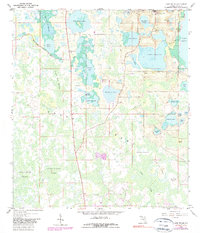
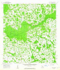
1959 Map of Lake Nellie
USGS Topo · Published 1981About this map
The Green Swamp dominates this landscape in southern Lake County, revealing a complex hydrological system of wetlands and isolated lakes. In the late 1950s, the terrain was defined by expansive marshes like Green Bay Swamp and Mud Stream Swamp, which separated higher sandy ground where citrus and small settlements began to emerge. The tiny community of South Clermont sits in the northeast corner near Florence Lake and Saw Mill Lake, while the Eva Lookout Tower provides a high-point reference for the surrounding wilderness. The map captures the area before modern residential expansion, showing early land use through scattered Claypit sites and local landmarks like the Gaging Sta on the eastern shore of Lake Nellie. Local historians will find interest in the numerous named islands within the marshes, such as the Wilson Islands and Black Jack Island.
Find a feature on this map
41 named features on this map. Tap any name to fly to it.
Don’t see what you’re looking for? This feature index may not catch every label — zoom into the map to look around manually.
Map Details
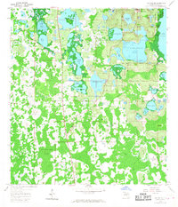
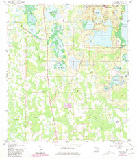
Editions of this 1959 Lake Nellie Map
4 editions found
Other maps of this area

1955 · Orlando
USGS Topo · 1:250,000

1957 · Orlando
USGS Topo · 1:250,000

1958 · Orlando
USGS Topo · 1:250,000

1959 · Lake Nellie
USGS Topo · 1:24,000

1959 · Lake Louisa
USGS Topo · 1:24,000

1959 · Lake Louisa SW
USGS Topo · 1:24,000

1959 · Poyner
USGS Topo · 1:24,000
1960 · Bay Lake
USGS Topo · 1:24,000
1960 · Rock Ridge
USGS Topo · 1:24,000

1962 · Orlando
USGS Topo · 1:250,000