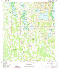
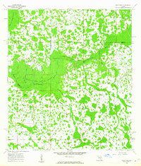
1959 Map of Lake Nellie
USGS Topo · Published 1981About this map
Green Bay Swamp dominates this Florida landscape, a complex system of wetlands punctuated by dozens of freshwater lakes and named islands. The settlement of South Clermont sits at the northern edge, where the terrain transitions from the low-lying Loggy Pond Swamp and Alligator Lake Swamp to more elevated ground marked by a Cem and local industry. Cultural features like the Eva Lookout Tower and a Gaging Sta reflect the era's land management and monitoring. Natural landmarks such as Kirkland Lake, Pine Island Lake, and the expansive Lake Nellie are surrounded by groves and pockets of higher ground like Joe Lee Island and Black Jack Island. The map records a specific mid-century environment before extensive modern development, detailing the intricate network of water bodies including Lake Louisa and Pretty Lake that define the Lake County interior.
Find a feature on this map
43 named features on this map. Tap any name to fly to it.
Don’t see what you’re looking for? This feature index may not catch every label — zoom into the map to look around manually.
Map Details
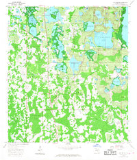
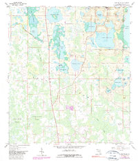
Editions of this 1959 Lake Nellie Map
4 editions found
Other maps of this area

1955 · Orlando
USGS Topo · 1:250,000

1957 · Orlando
USGS Topo · 1:250,000

1958 · Orlando
USGS Topo · 1:250,000

1959 · Lake Nellie
USGS Topo · 1:24,000

1959 · Lake Louisa
USGS Topo · 1:24,000

1959 · Lake Louisa SW
USGS Topo · 1:24,000

1959 · Poyner
USGS Topo · 1:24,000
1960 · Bay Lake
USGS Topo · 1:24,000
1960 · Rock Ridge
USGS Topo · 1:24,000

1962 · Orlando
USGS Topo · 1:250,000