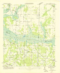
1936 Map of Mason Ridge
USGS Topo · Published 1936About this map
Wheeler Reservoir dominates this 1930s landscape where the Tennessee Valley Authority reshaped the borderlands of Limestone, Morgan, and Madison counties. The survey clearly delineates the Wheeler Reservation Boundary and the submerged path of the Former Tennessee River, marking a period of massive transition for local agrarian communities. Settlements like Zeitler and Wall Street are shown alongside vital community anchors including Needmore Sch and Oak Forest Ch.
Find a feature on this map
38 named features on this map. Tap any name to fly to it.
Don’t see what you’re looking for? This feature index may not catch every label — zoom into the map to look around manually.
Map Details
Editions of this 1936 Mason Ridge Map
This is the sole edition of this map. No revisions or reprints were ever made.
Other maps of this area

1888 · Cullman
USGS Topo · 1:125,000

1888 · Huntsville
USGS Topo · 1:125,000

1892 · Cullman
USGS Topo · 1:125,000

1892 · Huntsville
USGS Topo · 1:125,000
1936 · Triana
USGS Topo · 1:24,000
1936 · Madison
USGS Topo · 1:24,000
1936 · Hartselle
USGS Topo · 1:24,000
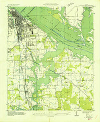
1936 · Decatur
USGS Topo · 1:24,000
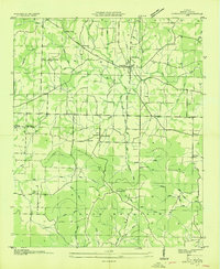
1936 · Somerville
USGS Topo · 1:24,000
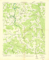
1936 · Center Grove
USGS Topo · 1:24,000