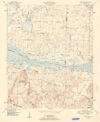
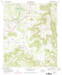
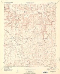
1951 Map of Mason Ridge
USGS Topo · Published 1951This historical map portrays the area of Mason Ridge in 1951, primarily covering Morgan County as well as portions of Madison County and Limestone County. Featuring a scale of 1:24000, this map provides a highly detailed snapshot of the terrain, roads, buildings, counties, and historical landmarks in the Mason Ridge region at the time. Published in 1951, it is one of 2 known editions of this map due to revisions or reprints.
Find a feature on this map
61 named features on this map. Tap any name to fly to it.
Don’t see what you’re looking for? This feature index may not catch every label — zoom into the map to look around manually.
Map Details
Editions of this 1951 Mason Ridge Map
2 editions found
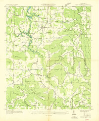
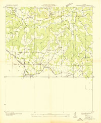
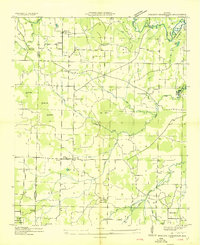
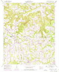
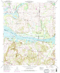
Historical Maps of Cave Springs Through Time
12 maps found
1936 Center Grove
Morgan County, AL
1936 Lawrence Cove
Morgan County, AL

1936 Mason Ridge
Morgan County, AL
1936 Stroups Crossroads
Morgan County, AL
1947 Center Grove
Morgan County, AL
1949 Lawrence Cove
Morgan County, AL
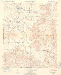
1949 Mason Ridge
Morgan County, AL
1950 Center Grove
Morgan County, AL
1951 Lawrence Cove
Morgan County, AL
1951 Mason Ridge
Morgan County, AL
1960 Danville
Morgan County, AL
2000 Danville
Morgan County, AL