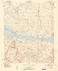
1951 Map of Mason Ridge
USGS Topo · Published 1951About this map
Wheeler Reservoir and the Tennessee River dominate this mid-century landscape, carving a wide path between Limestone and Morgan Counties. The flooded terrain of the Wheeler National Wildlife Refuge is dotted with backwater ponds such as Goose Pond, Lily Pond, and Buckeye Pond. This environment created a complex shoreline where older river features like Rockhouse Landing and Cain Landing met the new reality of the managed reservoir.
Find a feature on this map
61 named features on this map. Tap any name to fly to it.
Don’t see what you’re looking for? This feature index may not catch every label — zoom into the map to look around manually.
Map Details
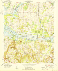
Editions of this 1951 Mason Ridge Map
2 editions found
Other maps of this area

1888 · Cullman
USGS Topo · 1:125,000

1888 · Huntsville
USGS Topo · 1:125,000

1892 · Cullman
USGS Topo · 1:125,000

1892 · Huntsville
USGS Topo · 1:125,000

1936 · Triana
USGS Topo · 1:24,000

1936 · Madison
USGS Topo · 1:24,000

1936 · Hartselle
USGS Topo · 1:24,000

1936 · Decatur
USGS Topo · 1:24,000

1936 · Somerville
USGS Topo · 1:24,000

1936 · Center Grove
USGS Topo · 1:24,000