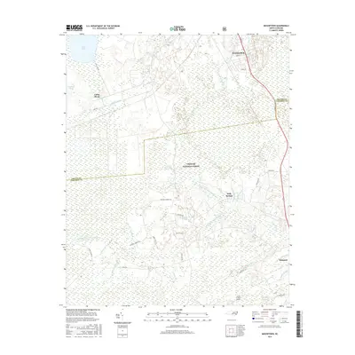
2016 Map of Masontown
USGS Topo · Published 2016About this map
Croatan National Forest dominates this coastal plain landscape, where a complex network of wetlands and drainages define the area's geography. Water management is evident in the series of artificial channels like North Canal, Middle Canal, and East Canal that connect natural bodies such as Little Lake and Lake Ellis Simon. The map documents the rural interface between the expanding community of Havelock and the surrounding wilderness, featuring smaller settlements like Masontown and Holly Springs. The southern portion of the sheet transitions into the headwaters of the Newport River system, marked by features such as Northwest Prong Newport River and Millis Swamp. Local transportation and aviation are represented by a mix of forest roads and the private Circle P Farm Airport, illustrating the multi-use nature of this Carteret and Craven County border region.
Find a feature on this map
49 named features on this map. Tap any name to fly to it.
Don’t see what you’re looking for? This feature index may not catch every label — zoom into the map to look around manually.
Map Details
Editions of this 2016 Masontown Map
This is the sole edition of this map. No revisions or reprints were ever made.
Other maps of this area

1942 · Maysville
USGS Topo · 1:62,500

1942 · Swansboro
USGS Topo · 1:62,500

1948 · Maysville
USGS Topo · 1:62,500

1948 · Swansboro
USGS Topo · 1:62,500

1949 · Havelock
USGS Topo · 1:24,000

1949 · Newport
USGS Topo · 1:24,000

1949 · Salter Path
USGS Topo · 1:24,000

1949 · Mansfield
USGS Topo · 1:24,000

1949 · Cherry Point
USGS Topo · 1:24,000

1949 · Masontown
USGS Topo · 1:24,000