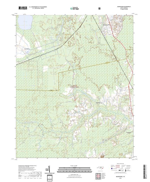
2022 Map of Masontown
USGS Topo · Published 2022About this map
Croatan National Forest dominates this coastal North Carolina landscape, where the dense wetlands and pine flatwoods of the Bear Swamp meet the developing edges of Havelock and Newport. The map reveals a complex hydraulic system necessary for managing this low-lying terrain, including the N Canal, Middle Canal, and various prongs of the Newport River and Southwest Prong Slocum Cr.
Find a feature on this map
69 named features on this map. Tap any name to fly to it.
Don’t see what you’re looking for? This feature index may not catch every label — zoom into the map to look around manually.
Map Details
Editions of this 2022 Masontown Map
This is the sole edition of this map. No revisions or reprints were ever made.
Other maps of this area

1942 · Maysville
USGS Topo · 1:62,500

1942 · Swansboro
USGS Topo · 1:62,500

1948 · Maysville
USGS Topo · 1:62,500

1948 · Swansboro
USGS Topo · 1:62,500

1949 · Havelock
USGS Topo · 1:24,000

1949 · Newport
USGS Topo · 1:24,000

1949 · Salter Path
USGS Topo · 1:24,000

1949 · Mansfield
USGS Topo · 1:24,000

1949 · Cherry Point
USGS Topo · 1:24,000

1949 · Masontown
USGS Topo · 1:24,000