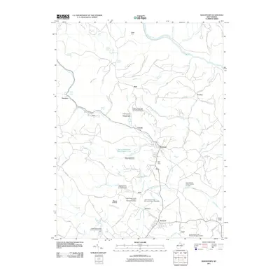
2011 Map of Masontown
USGS Topo · Published 2011About this map
Masontown and Reedsville serve as the primary hubs of this Preston County landscape, where the plateau terrain meets the deep incision of the Cheat River. The area’s industrial history is well-preserved through detailed labeling of coal and power infrastructure, including the Miller Mine near Bretz and the Morgan Mines further south. The map documents a complex water management system with multiple structures such as the Town of Masontown Water Supply Dam and several facilities on Upper Deckers Creek, illustrating the region's reliance on controlled local waterways.
Find a feature on this map
95 named features on this map. Tap any name to fly to it.
Don’t see what you’re looking for? This feature index may not catch every label — zoom into the map to look around manually.
Map Details
Editions of this 2011 Masontown Map
This is the sole edition of this map. No revisions or reprints were ever made.
Other maps of this area

1886 · St. George
USGS Topo · 1:125,000

1891 · St. George
USGS Topo · 1:125,000

1902 · Morgantown
USGS Topo · 1:62,500

1904 · Bruceton
USGS Topo · 1:62,500

1907 · Thornton
USGS Topo · 1:62,500

1907 · Kingwood
USGS Topo · 1:62,500

1925 · Kingwood
USGS Topo · 1:62,500

1925 · Morgantown
USGS Topo · 1:62,500

1926 · Thornton
USGS Topo · 1:62,500

1926 · Bruceton
USGS Topo · 1:62,500