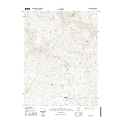
2016 Map of Masontown
USGS Topo · Published 2016About this map
The corridor between Masontown and Reedsville anchors this West Virginia survey, illustrating a landscape where industrial heritage and residential growth intersect. The passage of Deckers Creek and its associated rail trail serves as the primary geographic axis, connecting historic settlements like Cascade and Bretz. Genealogists and local historians can locate established landmarks such as the Reedsville Cem and Sturgis Church, alongside smaller hamlets like Guseman and Kanes Creek.
Find a feature on this map
131 named features on this map. Tap any name to fly to it.
Don’t see what you’re looking for? This feature index may not catch every label — zoom into the map to look around manually.
Map Details
Editions of this 2016 Masontown Map
This is the sole edition of this map. No revisions or reprints were ever made.
Other maps of this area

1886 · St. George
USGS Topo · 1:125,000

1891 · St. George
USGS Topo · 1:125,000

1902 · Morgantown
USGS Topo · 1:62,500

1904 · Bruceton
USGS Topo · 1:62,500

1907 · Thornton
USGS Topo · 1:62,500

1907 · Kingwood
USGS Topo · 1:62,500

1925 · Kingwood
USGS Topo · 1:62,500

1925 · Morgantown
USGS Topo · 1:62,500

1926 · Thornton
USGS Topo · 1:62,500

1926 · Bruceton
USGS Topo · 1:62,500