Loading...
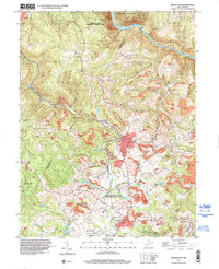
Loading map...1997 Map of Masontown
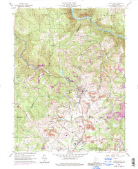
USGS Topo · Published 2000About this map
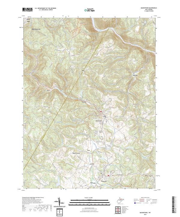
Masontown and Reedsville serve as the primary anchors for this region where the industrial legacy of Preston County is clearly etched into the landscape. The terrain is marked by numerous sites labeled as Former Mine, particularly surrounding the settlements of Bretz and Cascade. This concentration of extraction sites, alongside landmarks like Morgan Mines, reveals the historical dependency on the local coal seams that once fueled these mountain communities.
Find a feature on this map
48 named features on this map. Tap any name to fly to it.
Don’t see what you’re looking for? This feature index may not catch every label — zoom into the map to look around manually.
Map Details
Date Portrayed1997
Date Published2000
PublisherU.S. Geological Survey
Map TypeTopographic
Scale1:24,000
Physical Dimensions22.1 x 27.2 inches
Editions of this 1997 Masontown Map
This is the sole edition of this map. No revisions or reprints were ever made.
Historical Maps of Masontown Through Time
3 maps found
Featured Locations
Source Details
SourceU.S. Geological Survey
CopyrightPublic Domain